
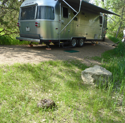
We had a reservation for a pull through site (no hook ups) at the Cottonwood Campground in Roosevelt. The campground is along the Little Missouri River but you can’t see the river from the pull through campsites. With our Golden Age Pass (or whatever they are calling it this season) we paid a whopping $7 a night for a lovely long site where we couldn’t see any neighbors and could sit with the windows open and listen to the birds sing their hearts out. THIS is National Park camping at its best.
It had rained off and on (sometimes so hard you could barely see the double yellow line) during our drive but it had stopped by the time we arrived. We set up camp and got settled in and slowly the sun came out. After dinner, in the last light before sunset we took a stroll around the campground.
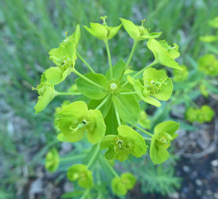
There was lots of spurge in bloom. Here in Roosevelt they consider it an invasive weed.
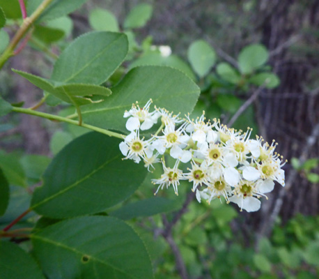
And the chokecherries were in bloom too.
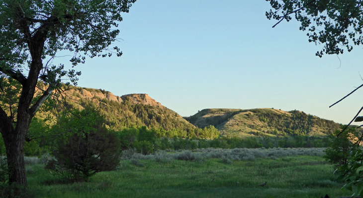
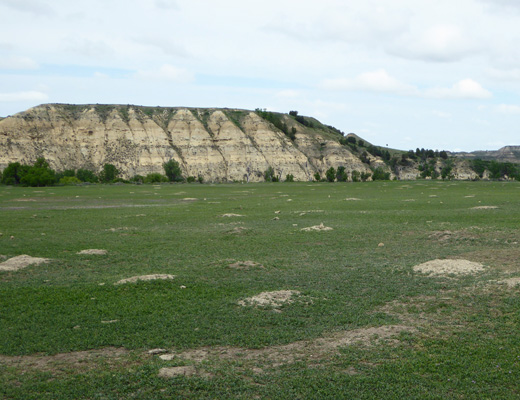
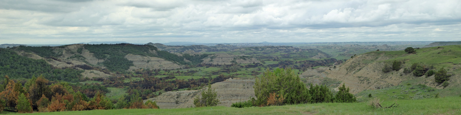
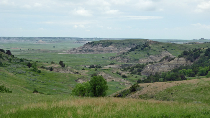
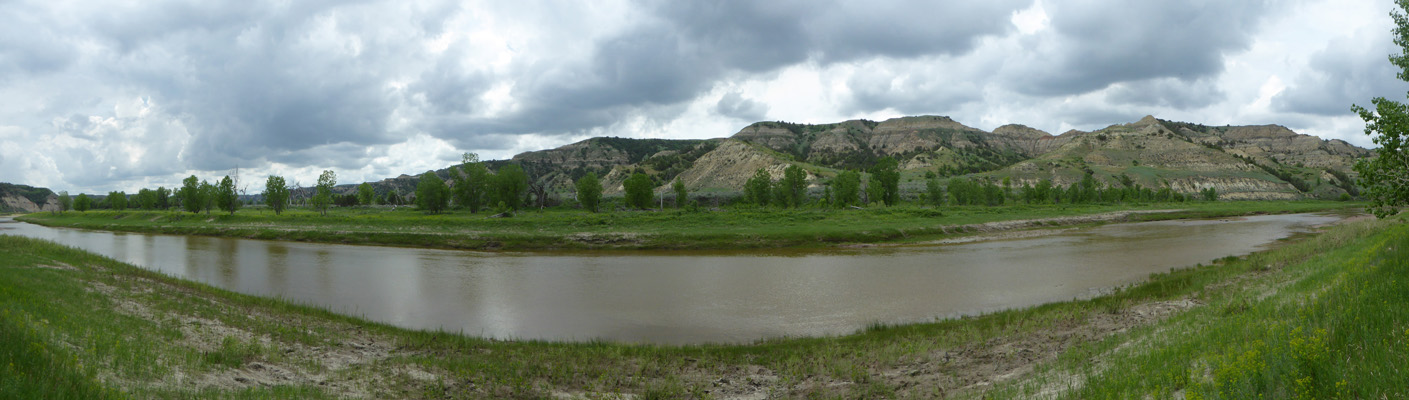
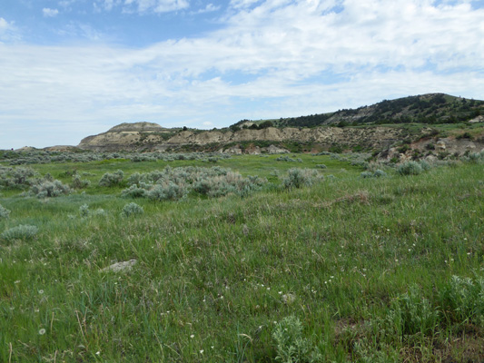
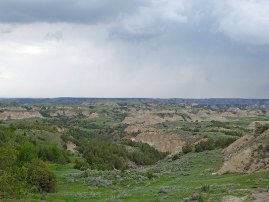
When we came out into the open area at the entrance to the campground you could see the surrounding hills lit by the setting sun.
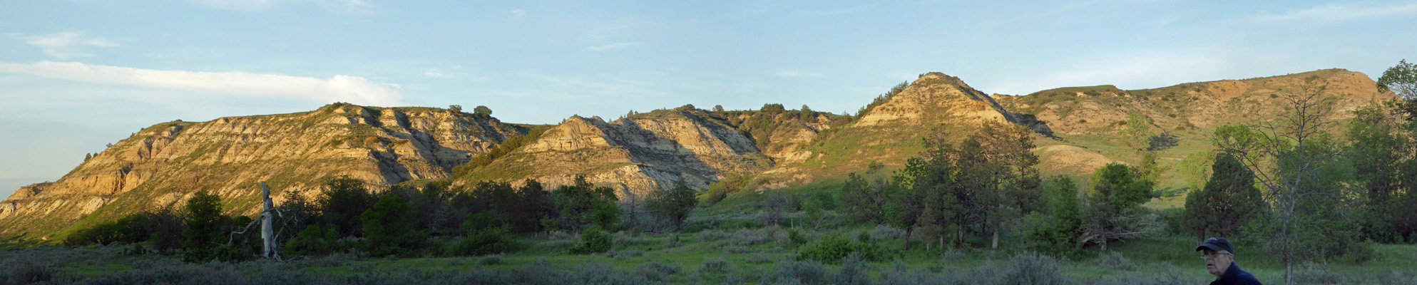
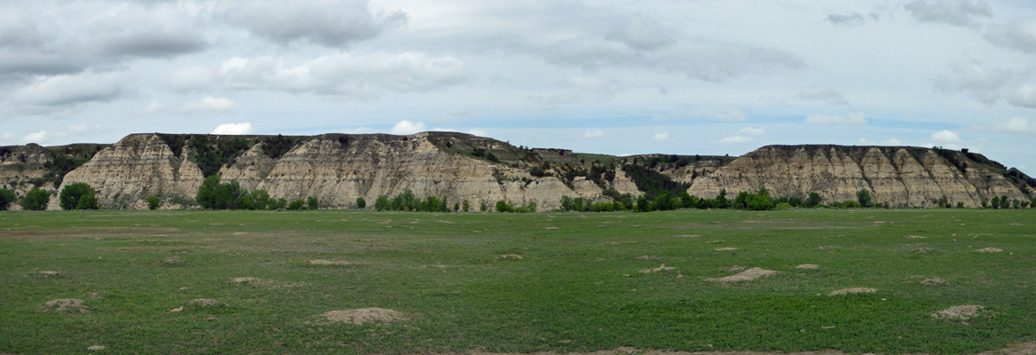
So we walked further into the clearing where I could catch a good panorama shot.
The sun was gone in a flash and the bugs came out right away. I managed to get a mosquito bite on the way back but hey its been so dry it was a novelty to have it be in the high 60’s and humid.
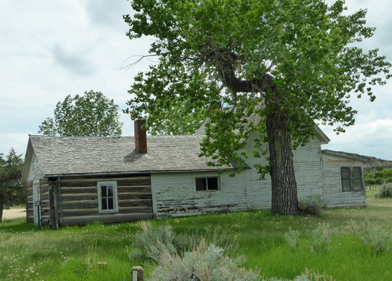
On Tuesday May 29th, we set out to take the 36-mile Scenic Loop Road through the South Unit of Theodore Roosevelt National Park. Our first stop was Peaceful Valley Ranch, the first dude ranch in the west. It originally was a cattle ranch, then became a dude ranch in the 1920’s, and then was a headquarters for the CCC and WPA in the 1930’s. In 1948 when the area became part of the national park it became the headquarters for the park. At one point there was a concessionaire who provided trail rides from here but not this year. So it now stands empty.
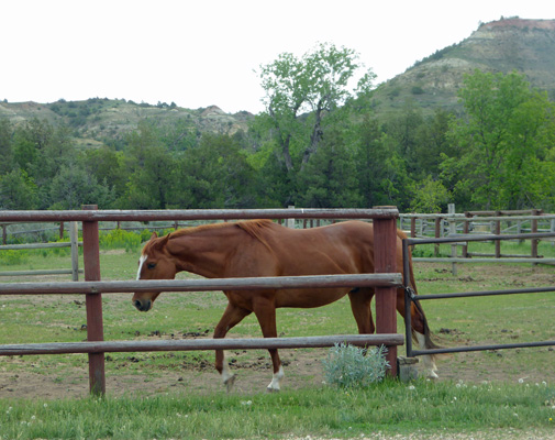
There were a couple of horses in the paddock—rangers may ride the trails on them.
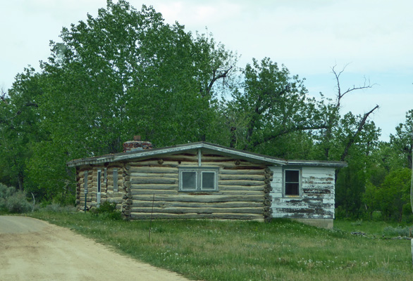
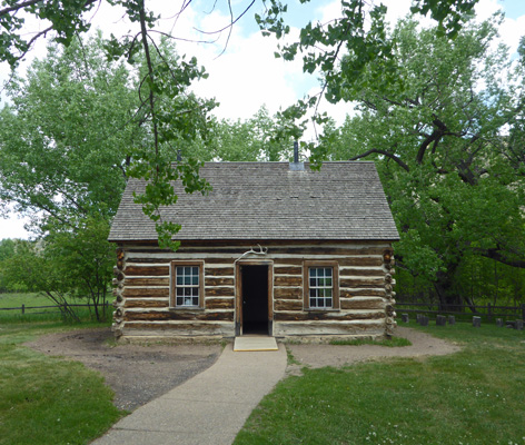
Don’t you just want to move into the log house?
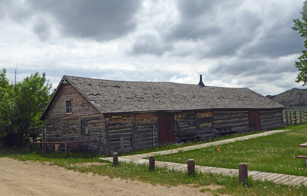
This one looks like it’s about to fall down.
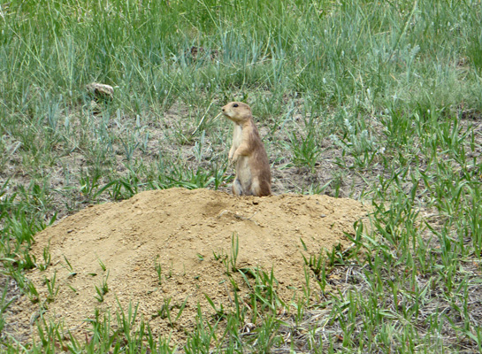
There’s a big Prairie Dog Town along the prairie north of here by the Little Missouri River. The area was called Beef Corral Bottom back when they raised cattle here. They’d round their cattle up here to sort and brand them.
The prairie dogs were active and lots of fun—as always.
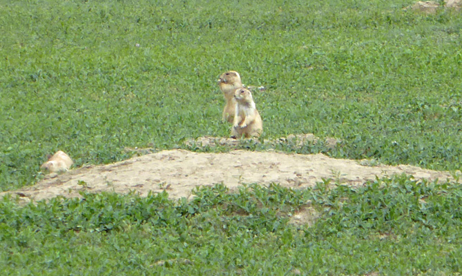
And the view was nice too.
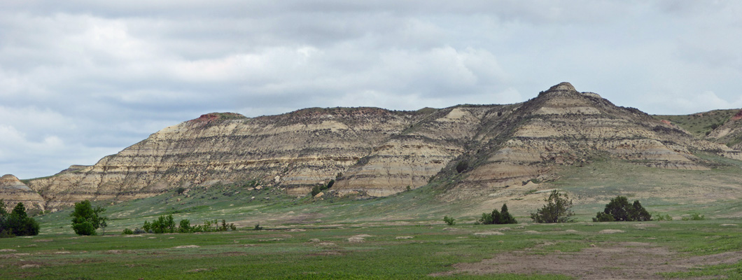
Here’s the view to the north. Just past those hills there are oil and gas wells. Hopefully they won’t let them encroach any further.
The prairie dog town continues on both sides of the road for a long ways and the prairie dogs don’t really acknowledge that the road has cars on it.
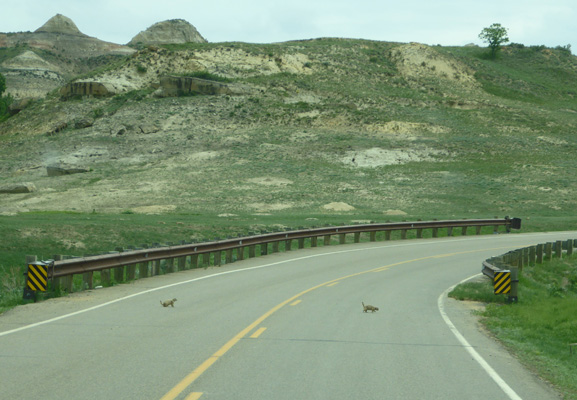
These guys sat in the road for quite a while before they moseyed on.
The next stop was the Wind Canyon Overlook and Trail. We decided we’d take the trail (it was only .4 of a mile) to see the view.
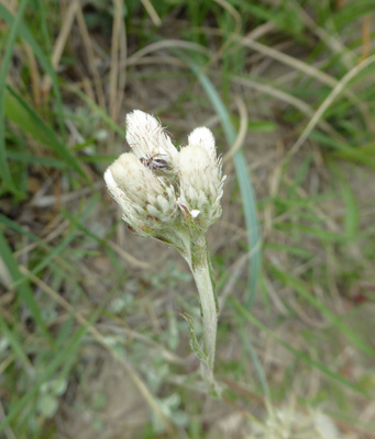
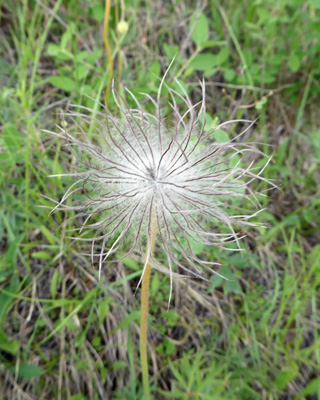
Along the way I saw some small-leaf Pussytoes (Antennaria parvifolia).
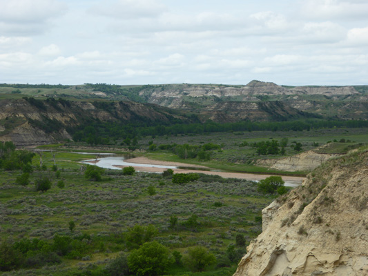
You follow the small wind-carved canyon out a ways to see the Little Missouri as it curves by.
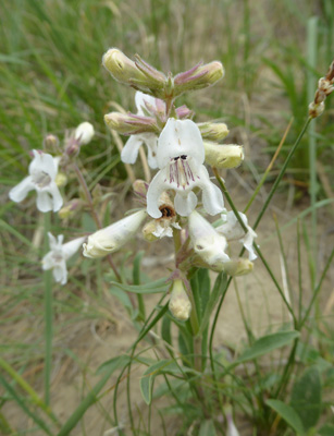
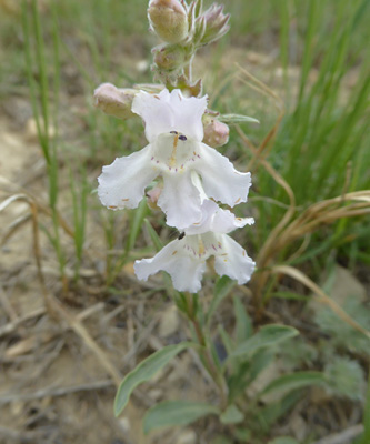
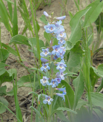
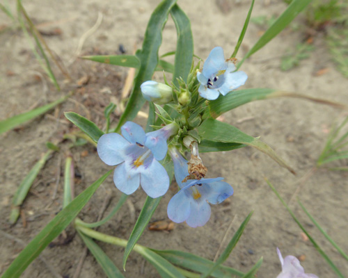
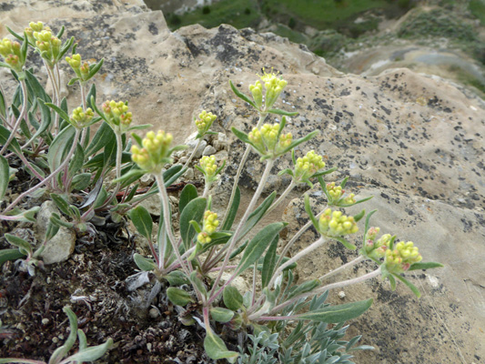
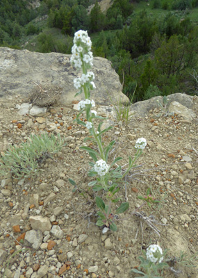
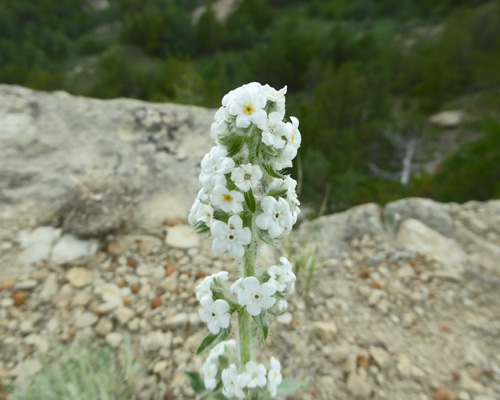
There was a lot of White Penstemon (Penstemon albidus) along the trail.
 |
 |
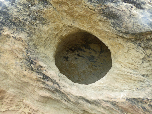
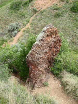
The hillside had eroded in places to create round holes in the rocks. This one was bigger than my head.
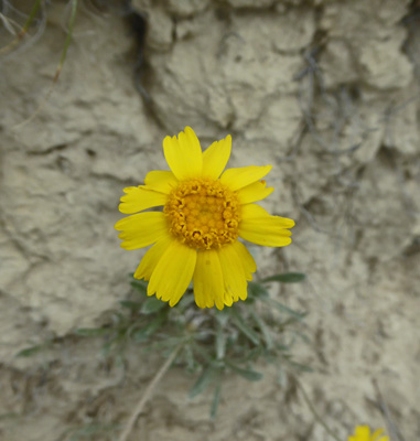
Here and there we saw a few Stemless Hymenoxys (Tetraneuris caulis).
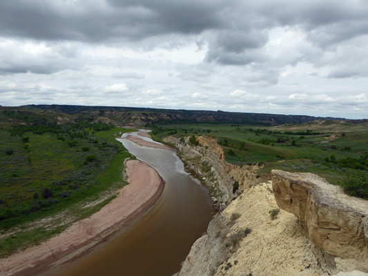
After following the rim of the ridgeline we came to a nice overlook.
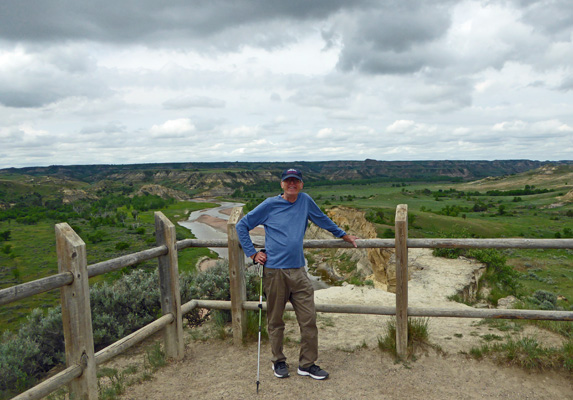
Here you could see the Little Missouri come into the curve
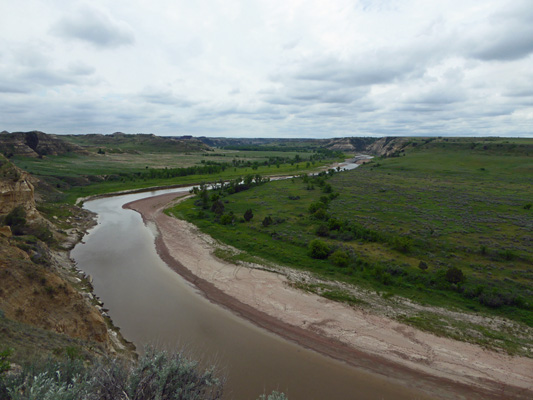
and leave
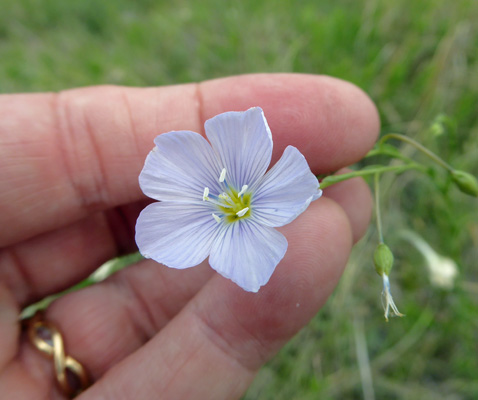
There was lots of Lewis Flax (Linum lewisii) in bloom here but the breeze kept moving it around to much so I finally just grabbed ahold of one and shot a photo.
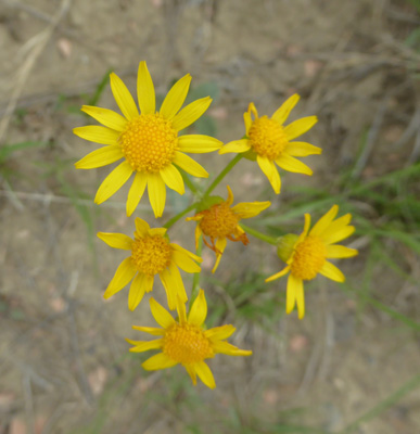
And there was LOTS of Wooly Groundsel (Packera cana) in bloom too.
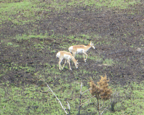
Early in May they did a controlled burn on the land that the 36 mile loop road encompasses. In some places the grass had filled in already but in others it hadn’t at all. We spied these pronghorns (antelope) crossing one of the burned areas.
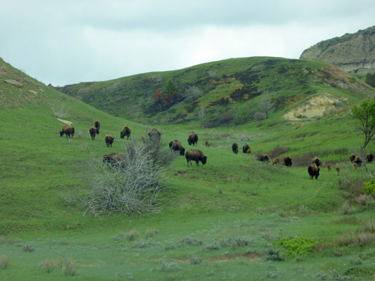
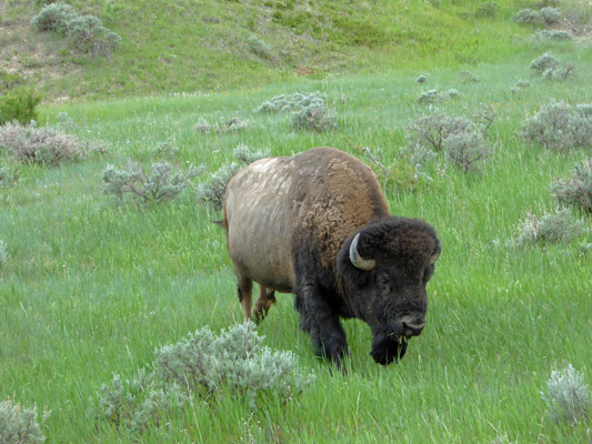
Around the bend we came to herd of buffalo.
And next to the road there were two bulls. One was using the guardrail as a back scratcher.
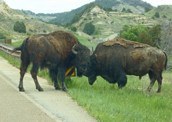
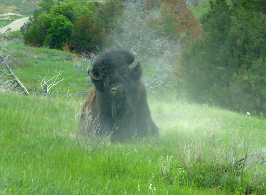
And the big guy on the right decided to have a dust bath while we were watching.
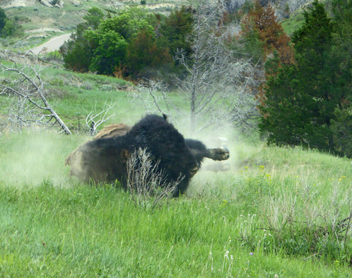
This HUGE animal just flops down rolls in the dirt and pops back up all in one motion.
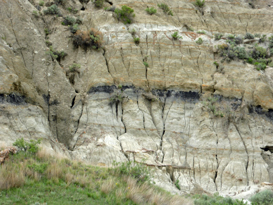
The badlands here aren’t as barren as those at Badlands National Park but they have these interesting black layers which turn out to be lignite coal.
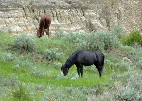
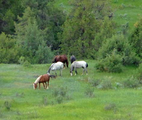
There are feral horses in the park too.
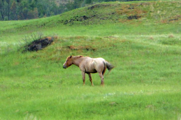
We saw several herds of them here and there. And they all looked very healthy.
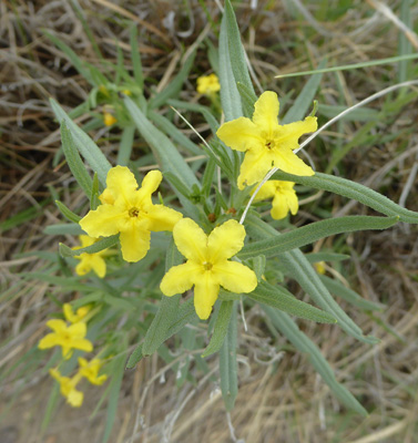
Along the road I spied some Waxleaf Penstemon (Penstemon nitidus).
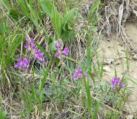
And some pretty purple stuff that turned out to be Purple Milkvetch (Astragalus agrestis).
The Boicourt Overlook is considered to be one of the prettiest in the park.
The view from the other side of the road looking north was pretty too.
We drove out the 1-mile dirt road to the Coal Vein Trailhead. From 1955 to 1977 a vein of coal burned here (started by a lightening strike) until all the coal was gone. Then the land sank to fill in the empty seam.
The prairie has pretty much recovered but you can see the grey line over the left where the coal was, so the area dropped quite a bit.
Before I-94 came through in the 1960’s the east entrance of the park was off in this direction. You can hike to the old entrance building but it’s all closed up.
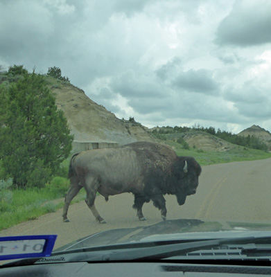
As we were heading down hill this big old bison bull came strolling down the hill towards us.
And then of course crossed the road in front of us.
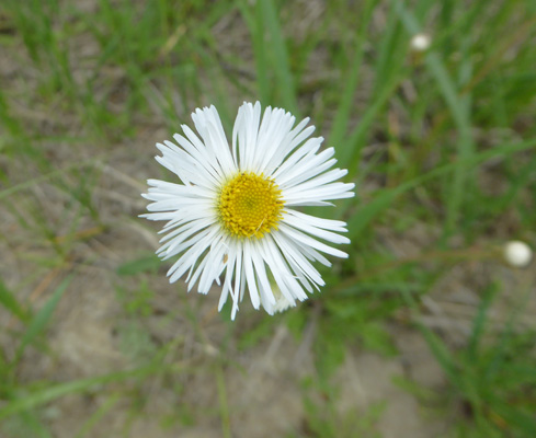
At the Badlands Overlook I spied some Streamside Fleabane (Erigeron glabellus).
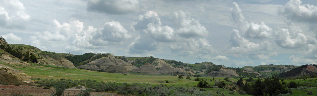
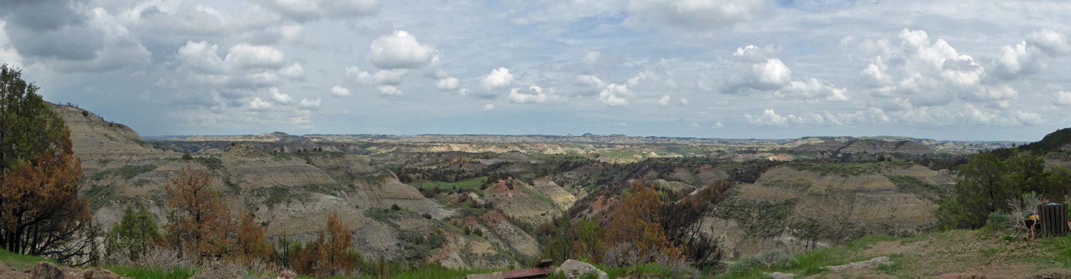
And of course the Badlands too.
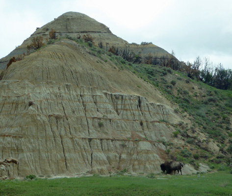
At the foot of one formation we saw a single bison. He certainly gives you a sense of the scale of things.
And more prairie dogs at yet another huge prairie dog town.
When we got back to the campground we drove the ‘back-in’ campsite loop and discovered that some of the tent sites were right next to the river.
And I found some tiny little Broadbeard Beardtongue (Penstemon angustifolius).
On Wednesday May 30th, we drove the 5 miles from the campground back to the Visitors Center. They were doing road work (we’d missed it on Monday when we arrived since it was a holiday) so we had to wait about 10 minutes. There was a group of grad students (Kansas State and Clemson) doing a survey for research on park usage so I took pity on them and waded through their too many questions while Walter had a great time talking to them. Then we went into the Visitors Center and had a look around and watched their movie. Both the museum in the Visitors Center and the movie focus on Teddy Roosevelt and his life here in the area. Out back of the Visitor Center you can visit the Maltese Cross Cabin where Roosevelt lived for a while. They moved it here from its original location about 7 miles south.
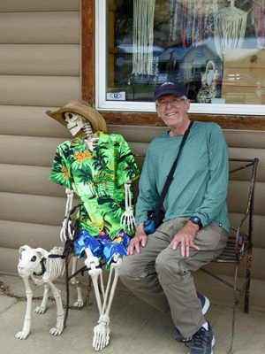
From here we went into the town of Medora and got gas. Walter made some new friends in the gas station.
Then we drove east on I-94 in hopes of seeing elk on our way back (as suggested by the ranger in the Visitors Center). We didn’t see any elk but we did stop at the Painted Canyon Rest Area and Visitors Center to take in the view.
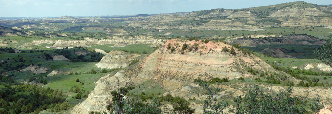
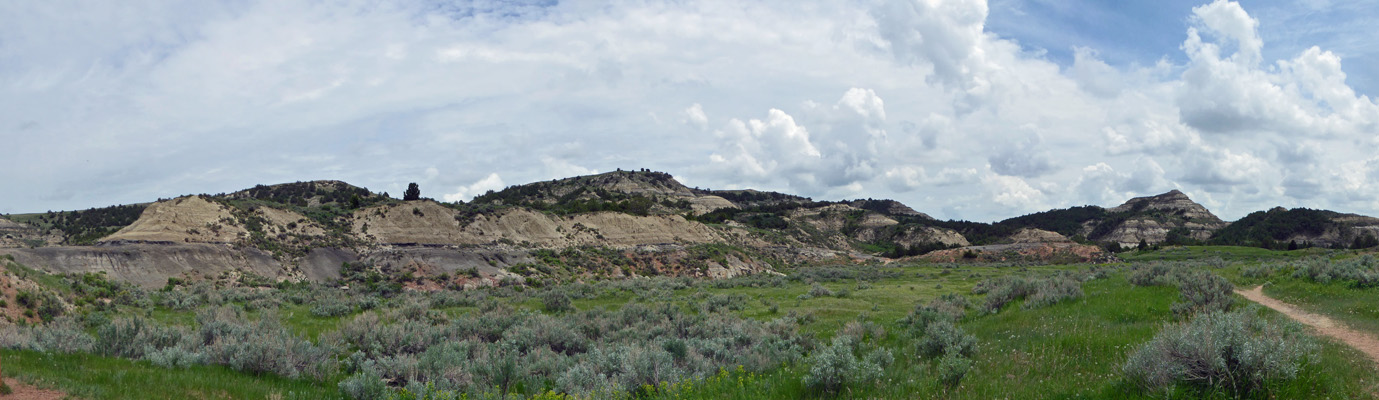
We walked along the rim here which gives you a great view of the badlands.
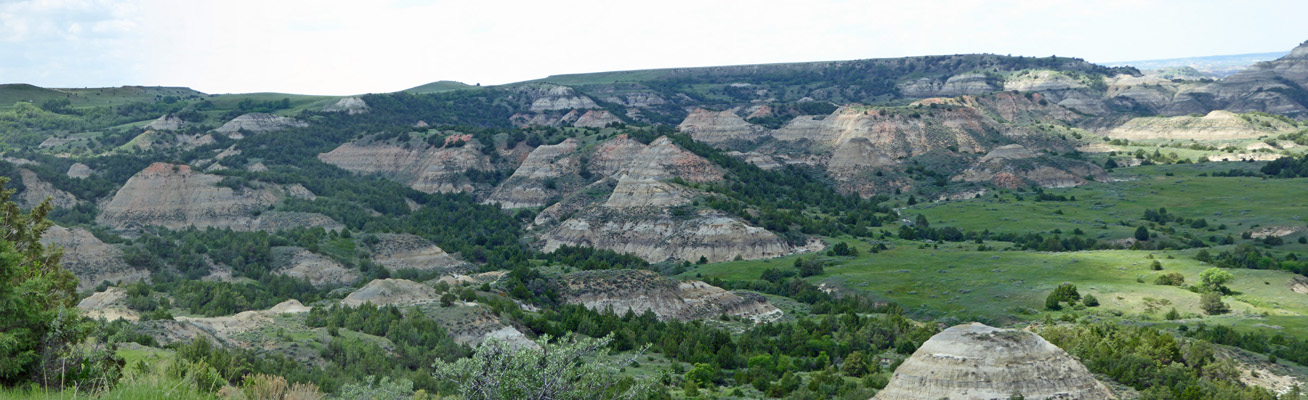
We had thought we’d take the Painted Canyon Nature Trail but when we started out on it, it went straight down and since it was hot and we were hungry we decided we’d take a pass.
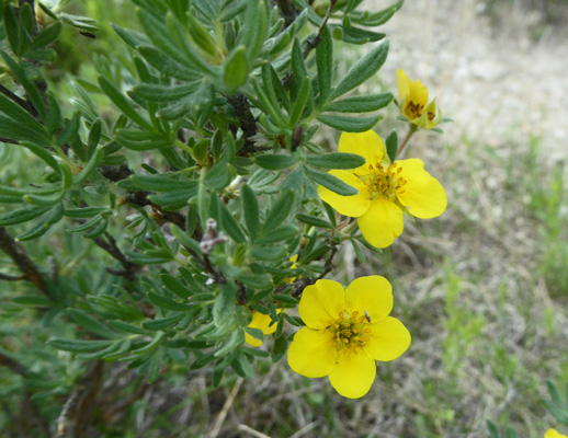
But I did see some shrubby cinquefoil in bloom.
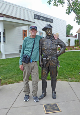
We drove through old town Medora and stopped so Walter could have his picture taken with the brand new Teddy Roosevelt statue (installed October 2017).
Then we went to the Medora Campground (a private RV park) and paid $5 a piece to take showers. The water was hot but the entire shower room flooded which made getting dressed again an interesting process.
With our booster we had been able to get a cell signal and use my phone as a hot spot but we were both happy to have a strong signal while we waited in line at the Visitor Center for the pilot car to take us back through the construction. It was a long wait but we didn’t mind—we had air conditioning and our phones worked!
It was a warm afternoon and our solar panel did a great job of charging up the batteries so we didn’t need to run the generator that evening.
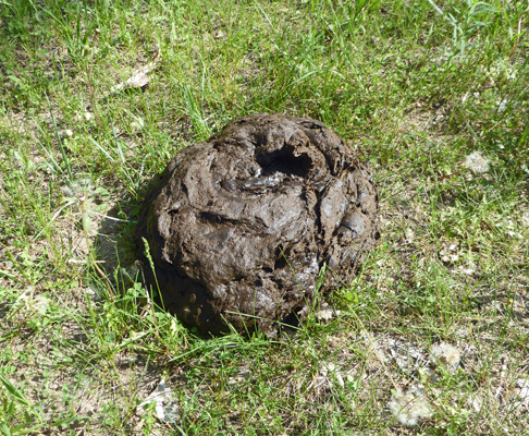
The next morning we were greeted by a large buffalo chip RIGHT outside our back door.
We didn’t see the perpetrator but we figure it was a lone male who wandered through in the early morning hours after going down to the river.
Since the forecast said it was going to be in the mid-80’s we decided we’d get our hikes in early and then come back to the trailer. So we headed back on the Scenic Loop Road about 10 miles to the the Coal Vein Trail to take the .8 mile hike there.
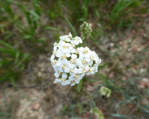
There was a bit of Yarrow (Achillea millefolium) in bloom at the beginning of the trail.
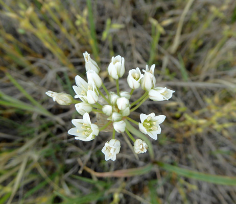
And lots of Prairie Onion (Allium textile).
Like all good Nature Trails this one comes with a little informative book. It was full on interesting information but the views from the numbered posts really weren’t related to the information—i.e. you can read the booklet and leave it home and just enjoy the hike.
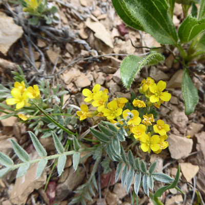
There were nice examples of Foothill Bladderpod (Physaria ludoviciana) along the way.
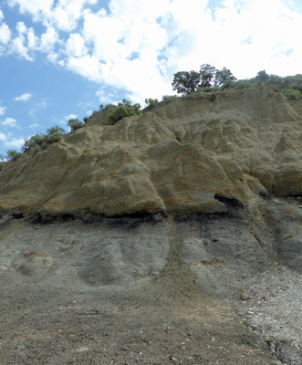
Here’s another shot of the layer of lignite coal in the rock formations here.
The trail loops around past a seasonal pond (which was dry) and over a season creek (which had a cow trickle in it).
Here’s another view of the section of prairie that sank after the coal fire finally went out.
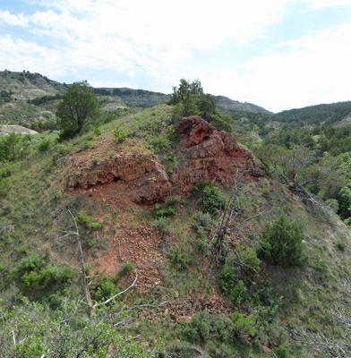
Around the edges you can find towers of clinker which was clay that the coal fire baked rock hard.
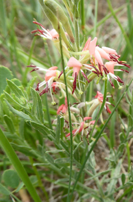
We found some Scarlet Beeblossom (Oenothera suffrutescens).
And stopped and talked to a bunch of young folks with Montana Conservation Corps t-shirts on who were getting ready to work on a section of the trail. They were AmeriCorps kids working for a stipend for the summer.
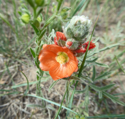
Around the next bend, Walter found some Scarlet Globemallow (Sphaeralcea coccinea).
We stopped and took a photo of this chimney that was baked by the fire. It surrounded a natural opening in the rock layer that fed air to the fire. In return it was baked hard and when the rest of the area sank and/or eroded away it remained.
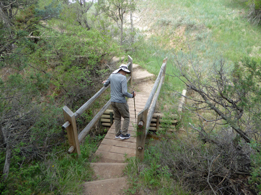
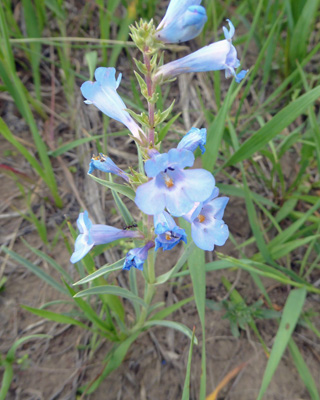
Black clouds were starting to come in so we hurried on and drove to the Ridgeline Trailhead. Walter decided he’d stay in the car while I did this .6 mile trail. It was a good choice on his part because it was more strenuous that it sounded. It started with steep stairs which brought you up onto the ridgeline. There were Broadbeard Beardtongue (Penstemon angustifolius) in bloom in blue.
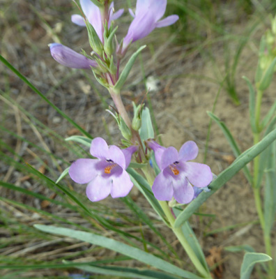
And in lavender.
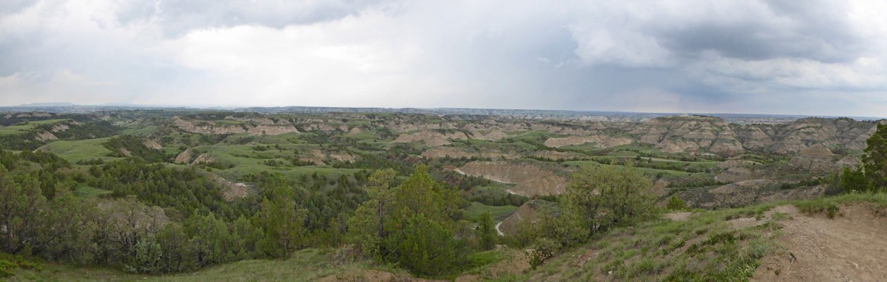
The view from the ridge was lovely.
But there was lightening off in those clouds and they were heading my way.
There were feral horses down below in the grasslands.
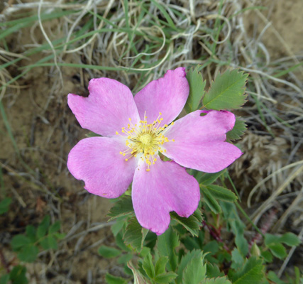
And Prairie Rose (Rosa arkansana) in bloom (I’d seen lots of buds but these were the first blooms).
The trail takes you out to an overlook with a great view.
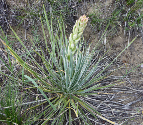
Along the way I spied a Small Soapweed (Yucca glauca).
Along the very edge of the rocks I found some Woodland Whitlow-grass (Draba nemorosa). Yes it’s straight down and I was a little nervous.
The trail goes out to yet another viewpoint with lots of random trails to figure out. The smart hiker would turn back and retrace their steps. But I was using the little Nature Trail Guide and there were more numbers to go so I went DOWN some really steep stairs (past the ranger working with more of the Americorps folks planning culverts). There was no handrail and I was very glad at this point that Walter wasn’t with me because he would NOT have liked those stairs—hiking stick or no.
And sure enough there were more numbers and a few flowers too. I found this Northern Cryptantha (Cryptantha celosioides).
 |
 |
Along about this point it began to sprinkle and I made tracks. It was raining by the time I got to the stairs back UP to the ridgeline and I went as fast as I could but I could only go so fast—it was steep. It was pouring and there was lightening (cloud to cloud thank goodness) and thunder by the time I reached the steep stairs at the beginning of the trail. I chose to get wet rather than try to rush down the slick steep stairs and maybe take a header. I got back to the truck a little wet but not cold since it was actually pretty warm outside.
We went back to the trailer and put the generator under the awning and ran it while we listened to the rain. With the generator going we could use the internet which made things more fun at least. We played music and sang and hung out and it never did get hot which was a blessing.
On Friday June 1st, we packed up and headed back to Medora where we picked up I-94 east to Hwy 85 where we turned north through the prairie and the oil and gas wells for about 50 miles until we reached the entrance to the North Unit of Theodore Roosevelt National Park.