
We arrived to find that one of our favorite camping spots seemed to be missing. Three spots fell into the river in the floods the last couple of years.
Where you can see the root balls of the fallen trees used to be river bank and camp sites--oops.
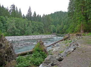
We camped across from these former spots and had a nice open view of the river. After setting up camp and having lunch we set out for a hike to the Big 4 Ice Caves.
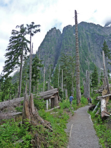
This trail has been closed for the last couple of years because a long bridge across the river washed out in the floods of 2006-7. They've replaced it with a shiny new one that is much higher than the old one--in hopes that trees washing down the river will go under it rather than pulling the bridge down with them.
You hike through the woods for a while and then come to an area where LOTS of trees have been blown down. This is just before you arrive at the snow fields and our guess is that the trees came down in a big avalanche or the wind created by one since the area is famous for it's avalanches.
Here's the view just as you come out of the woods approaching the ice cave area. You can see how any of the trees are just snapped off.
You can also see how steep the mountains are here. The snow accumulates on the ridges and then drops straight down to form huge mounds at the bottom.
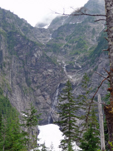
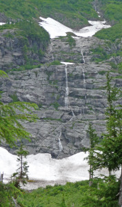
Then the melting snow above creates waterfalls that run down the cliff faces.
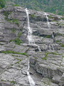
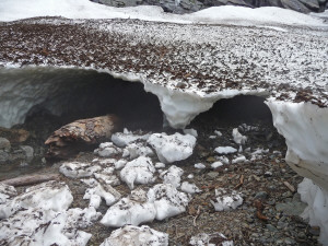
And the water from the waterfalls runs under the snow fields and draws air with it and forms ice caves. Some years there are tons of them in July and other years very few. This year they had just started to form in the area furthest away from the end of the trail.
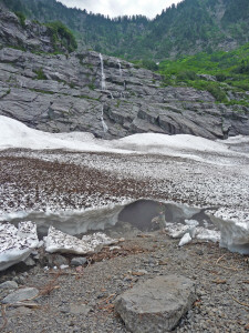
We've done this hike a number of times, always at the same point in July, and we've never seen this much snow there before. You have to hike way past the official end of the trail to get to this ice cave area.
It's a bit of a scramble but fun.
Here's Walter down the hill from me on one of the scrambles.
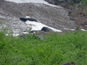
We came around the side hill to these big long ice fields and people picking their way across them. In 2006 there was no snow at all in the section on the right and instead it was full of wild flowers!
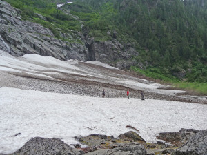
We noticed that there were folks down in a swale and when we hiked over we saw an ice cave. So we clamored over the snow field to have a closer look.
Here's Walter standing at the opening. The fog you see is caused by the cold air coming out of the ice cave and hitting the somewhat warmer slightly humid air we had that day and condensing into fog. Other years when we've been here it hasn't done that!
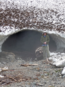
It was like standing at the open door of a walk-in freezer! Farther across the snow field there were a couple of more caves. We decided we really didn't need to slog across the mushy snow to see them. But you could hear folks having snow fights over there and slipping and sliding around.
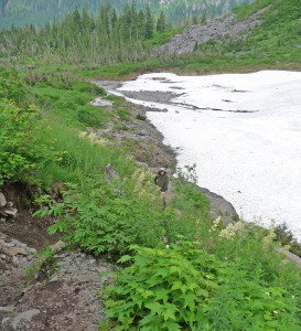
Even with all the snow here there were still wildflowers.
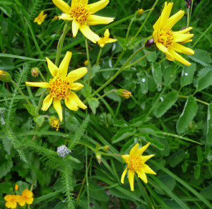
Arnica and yarrow.
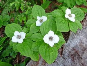
Bunchberry (Cornus canadensis)--one of my favorites!
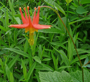
Native Columbine (Aquilegia formosa)
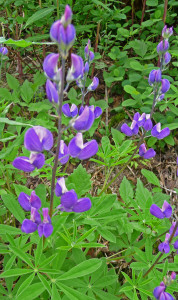
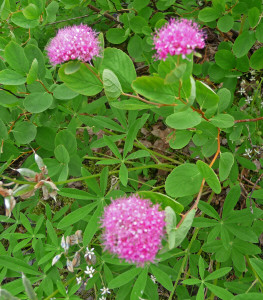
Lupine and Spirea

This is Bog St. John's Wort (Hypericum anagalloides). I'd never seen before.
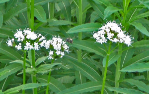
And lots and lots of valerian alive with bees.
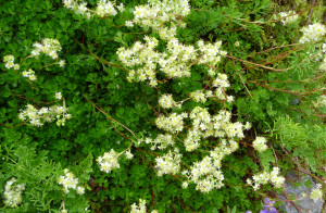
But best of all was the Partridgefoot (Luetkea pectinata) which I didn't correctly identify until we saw it again at Mt. Baker later in the summer.
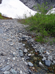
There's a good sized creek that flows out of the ice caves area but when we started looking, we couldn't figure out where the water actually flowed from. With closer examination we discovered that it flows underground from the snow fields to just before you enter the woods and then just appears out of the rocks!
This is where it starts. You can seen the snow fields in the background.
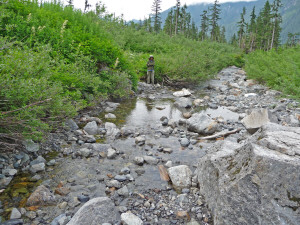
I turned around from here and shot a photo facing the other way. You can see it's a good sized creek. And yes, that's Walter standing on the bank.
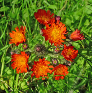
On the way back to the campground I noticed this swath of orange flowers growing along the road. Everything else was yellow and weedy looking so I stopped to look.
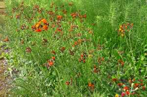
It's a patch of orange hawkweed. It's a weed but a very pretty one!
The next day we drove the Mountain Loop Highway all the way to Darrington and then did part of the hike to Monte Cristo. You can read about it here.